Leanpub Book LAUNCH 🚀 GeoAI with Python: A Practical Guide to Open-Source Geospatial AI by Qiusheng Wu
Learn to apply deep learning and AI to satellite imagery, aerial photos, and geospatial data using Python.
Welcome to the Leanpub Launch video for GeoAI with Python: A Practical Guide to Open-Source Geospatial AI by Qiusheng Wu!

About the Book
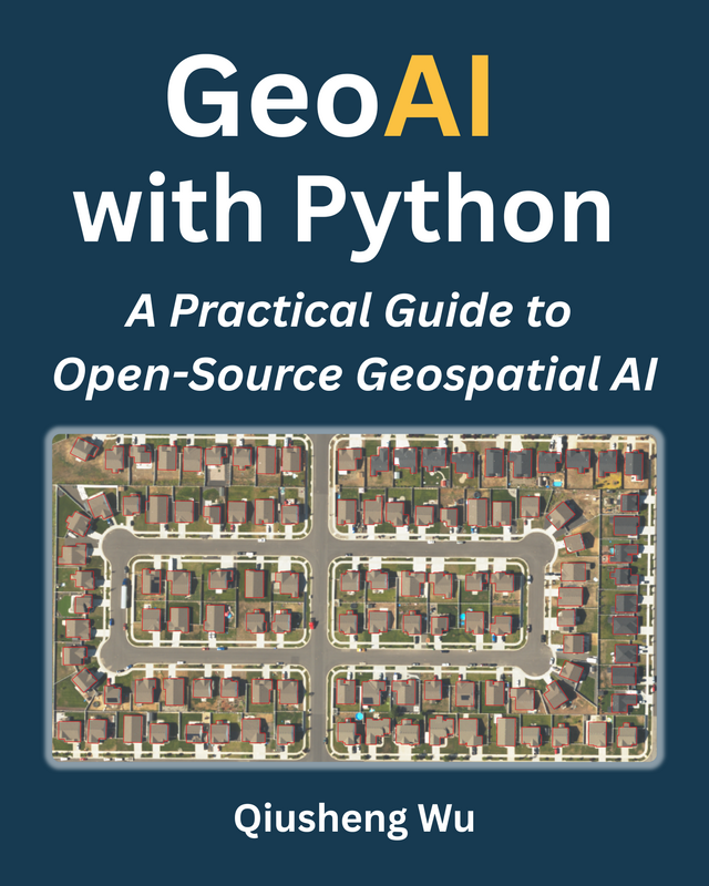
Learn to apply deep learning and AI to satellite imagery, aerial photos, and geospatial data using Python. This practical, hands-on guide walks you from downloading remote sensing data to training and evaluating deep learning models, all using open-source tools.
What you’ll learn
- Set up a complete GeoAI environment with Python, PyTorch, and GPU acceleration.
- Download satellite imagery from Microsoft Planetary Computer and open data portals.
- Create interactive maps and prepare training datasets from large satellite images.
- Train and evaluate models for seven core geospatial AI tasks: image recognition, object detection, semantic segmentation, instance segmentation, image translation, change detection, and pixel-level regression.
- Apply foundation models, including the Segment Anything Model (SAM), vision-language models, and satellite embeddings, to real-world Earth observation problems.
- Run AI workflows in QGIS without writing code using plugins for tree segmentation, water detection, and more.
Structure and format
- 23 chapters of executable code examples organized in five parts: Foundations, Data Acquisition and Preparation, Core AI Tasks, Foundation Models, and QGIS Plugins.
- All examples use real satellite imagery with PyTorch, torchgeo, segment-geospatial, leafmap, and geoai.
- All code and datasets are freely available on GitHub and Source Cooperative for full reproducibility.
Who it’s for
GIS professionals, remote sensing scientists, data scientists, and students who want to apply AI to geospatial data using Python and open-source tools.
About the Author
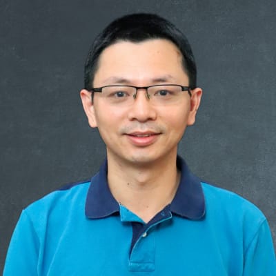
Dr. Qiusheng Wu is an Associate Professor at the University of Tennessee and an Amazon Scholar. His research focuses on geospatial data science, with an emphasis on using open-source Python tools and cloud computing to study environmental change. He is the creator of several widely-used Python packages, including geemap, leafmap, and geoai, and is dedicated to advancing geospatial analysis and visualization. Dr. Wu's work is a cornerstone of the open-source geospatial community, and he brings his deep expertise to this book, guiding you through the process of learning and mastering geospatial programming with Python.
Follow the author here!